Basic facts: Lake Michigan is the only Great Lake wholly within the borders of the United States. It has a surface area of 22,400 square miles making it the largest lake entirely within one country by surface area, and the fifth largest lake in the world. It is 307 miles long by 118 miles wide with a shoreline 1,640 miles long. The lake's average depth is 279 ft, while its greatest depth is 923 ft. Its surface averages 577 feet above sea level, the same as Lake Huron, to which it is connected through the Straits of Mackinac.
Lake Michigan can be as calm as a mill pond or with high velocity (30 MPH plus) northeast or southwest winds it can easily produce 10 foot wind driven waves. In the winter, northeast gales can produce waves as high as 20 feet. Did I mention that Lake Michigan can be challenging?
The weather on Monday indicated a window for crossing on Tuesday. The forecast called for 10 to 15 MPH northwest winds in the morning diminishing to light and variable (5 to 10 MPH) after noon. One to three foot waves were forecasted in the morning diminishing during the day to less than 1 foot.
That forecast persuaded us to move south to Leland to put us in position for a Tuesday crossing. As discussed in the previous article, we had a smooth 35 mile trip.
As evening came on Monday the winds calmed. We thought we had it made. Then, all of a sudden, around 8:00 PM, the winds started blowing briskly out of the north. Oops.
The winds were still blowing out of the north when we awoke in the morning and the American flag was fully outstretched; indicating at least a 15 MPH wind. Whitecaps were visible on the waters just outside the Leland harbor rock wall. We estimated the morning wave heights at 2 to 3 feet.
We decided to wait and see if the forecast, which remained essentially unchanged from Monday, would hold up. We were expecting the winds would start to diminish as the morning progressed.
Kodi got to go swimming in Lake Leelanau and we had a lovely breakfast at the Earlybird Restaurant. By 11 the flag indicated the winds were diminishing although there still whitecaps.
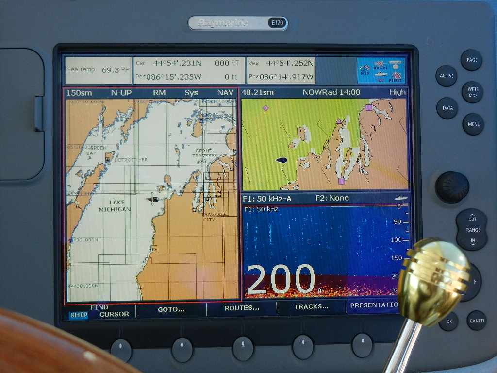
We departed at 11:24 and headed west into the Manitou Passage at 9.2 MPH (1030 RPM, 4.7 GPH) . The waves were running 1 to 3 foot of the starboard beam. 45 minutes later we turned 21 degrees south and, as we progressed through the passage, the waves diminished as we benefited from the protection of the Manitou Islands.
Two hours and 15 minutes into the trip we turned 21 degrees north (267 degrees) and headed for the Sturgeon Bay Ship Canal some 57 miles across the lake. By the time we made the turn the winds had diminished and waves were down to 1 foot. For the next 6 hours the conditions continued to improve. We never made it to a mill pond but it was a very smooth rides. Bottom line: Conditions were just a forcasted.
At 7:38 PM we passed the pier head light and entered the ship canal. We cruised west through the canal's four mile no wake zone to Sturgeon Bay. The only glitch, very slight, was waiting for the Michigan Avenue Bridge which opens on the hour and half hour. At 8:31 we passed under the bridge and turned into the Harbor Club Marina.
 |
| Coast Guard Station at the beginning of the Sturgeon Bay Ship Canal |
Trip Statistics:
- 83 Miles Covered
- 39 Gallons Used
- 1.8 MPG
- 8.8 MPH
- 9:19 Time Enroute
 |
| Crossing the Lake is so stressful |
- 1,318 Miles Traveled Since 7/2/12
- 814 Total Gallons Used (includes sea trial)
- 1.6 MPG Fuel Efficiency
- 72 Locks
- 35 Cities Visited
- 5,889 Total Miles since 10/3/10
- 5,634 Total Gallons of Diesel Used
- 99 Total Locks
- $3.72 Average Cost of Fuel
- $84 Average Daily Cost of Dockage
- 433 Days on the Great Loop
- $213 Average Cost Per Day
- 130 Cities Visited
No comments:
Post a Comment