 |
| The rockpile viewed from astern |
Use this cruiser's link to see better views of the jagged rocks.
The remainder of the trip was very slow. Residential density increased as we progressed northeast along the ICW with numerous upscale homes with floating docks. This of course leads to "no wake" and slow zones. The 44 mile trip took over five hours. The good news. We only burned 19.6 gallons (for an economical 2.1 miles per gallon (for a boat).


 |
| Two floating casinos |

Upon arrival we explored the Southport historical district with Kodi. Most homes were build just after the Civil War. We found a marker commemorating the vision of Joshua Potts who in 1790 laid out the first 100 lots for a town surrounding Fort Johnson.


Fort Johnson, built before the Revolutionary war, played a role in both the Revolutionary and the Civil War.


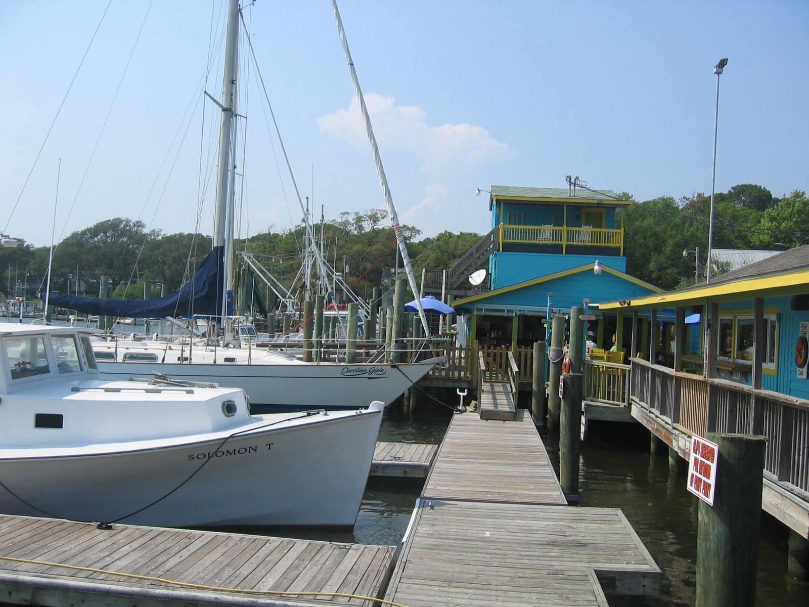
Kodi got to go swimming (twice) and we stopped for a beer at Fishy Fishy Cafe (where we also returned for dinner).

Tomorrow we cruise to Wrightsville, NC.
Written by Les.
No comments:
Post a Comment